
A red flag warning has been issued for Western Washington, including the Olympic Mountains and the lowlands along the Strait of Juan de Fuca and Puget Sound, and will last through 11 p.m. today as thunderstorms approach the region.
The warning was issued by the National Weather Service at 8:21 a.m. today.
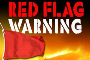
A red flag warning means that critical fire weather conditions are either occurring now or will develop shortly.
According to the warning, there is potential for abundant lightning today lasting into this evening for much of Western Washington, as well as late this afternoon through Monday afternoon for the North Cascades.
Thunderstorms began to develop early today over portions of Southwestern Washington.
Isolated lightning strikes may occur during the morning hours, but the main threat of dry lightning will begin this afternoon and will continue into the evening hours, according to the warning.
A combination of strong winds, low relative humidity and warm temperatures can contribute to extreme fire behavior.
As low pressure continues to move north along the coast, the threat for thunderstorms will continue to spread over much of Western Washington by this afternoon.
The combination of this thunderstorm threat with very dry fuels will give rise to critical fire weather conditions.
While thunderstorm activity is expected to die down late this evening, the threat will linger for the east side of the Cascades into Monday.
Atmospheric and dry fuel conditions are creating an environment that will likely cause any fire starts to spread rapidly.
Outdoor burning and use of fireworks is not recommended.
In addition, unseasonably warm dry weather is anticipated to extend well into next week, especially inland from the immediate coast.
The extended warm dry weather may help any fire starts today continue to be quite active.
