
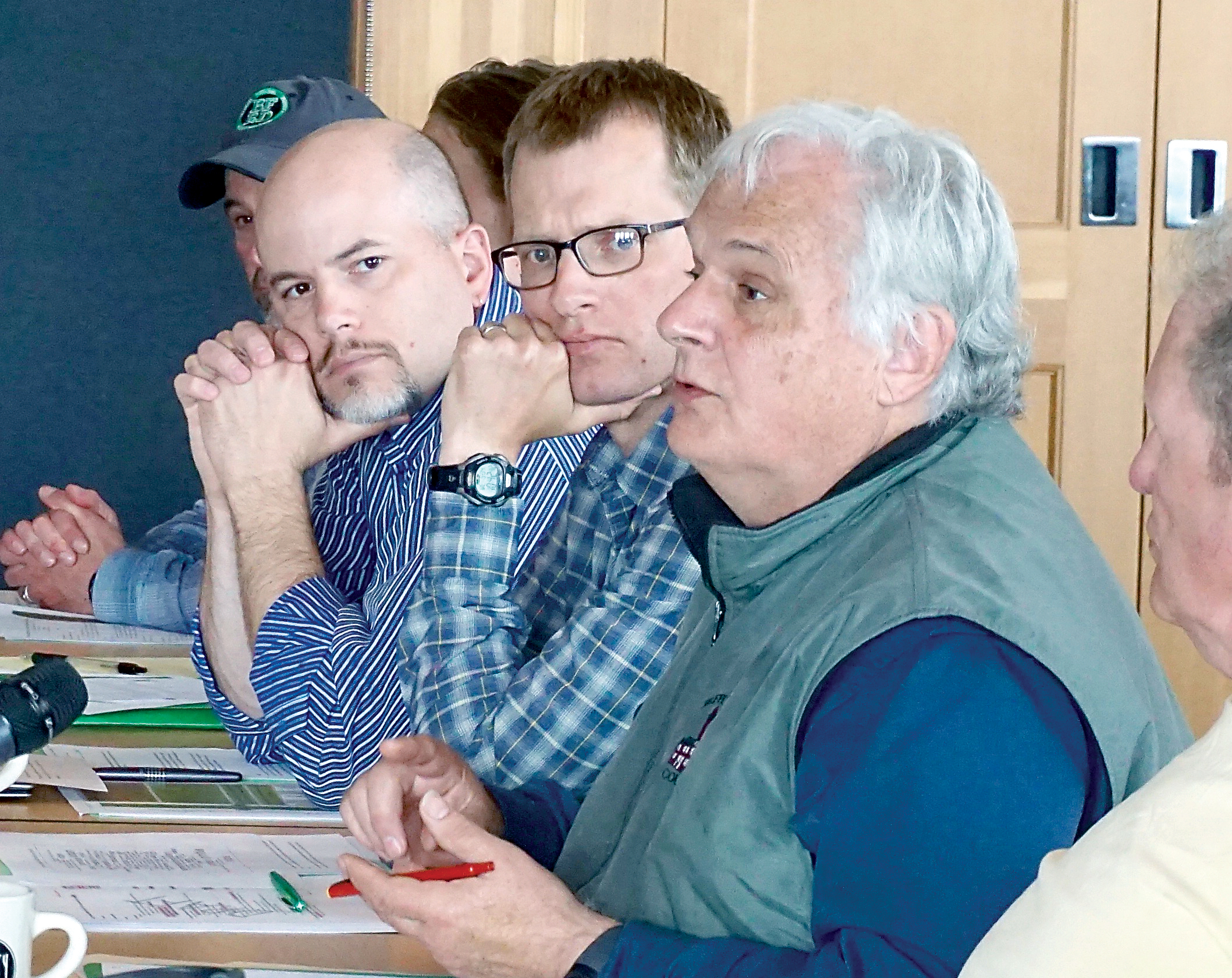
PORT TOWNSEND — A 28-member council will meet for a second day today to discuss the future of the Pacific Northwest National Scenic Trail, which crosses the North Olympic Peninsula as it stretches 1,200 miles from the Continental Divide in Montana to the Pacific Ocean.
“We are to recommend how we will manage and administrate the trail in the future and to determine how it will be used five, 10 or 50 years from now,” said Matt McGrath, a National Forest Service employee who is moderating the two-day meeting that began Wednesday at the Northwest Maritime Center, 431 Water St.
The public meeting continues from 8 a.m. to 4 p.m. today. The agenda includes time each day for testimony from the public.
The group eventually will present proposed guidelines for the trail, which was designated in 2009 as one of 11 National Scenic Trails, to be submitted to the National Forest Service.
The Forest Service expects to release a comprehensive plan for trail management in 2017.
The Jefferson County portion of the trail begins at the ferry terminal, connects with the Larry Scott Trail and moves down state Highway 20 and U.S. Highway 101 before heading west through Olympic National Forest.
It crosses into Clallam County southeast of the Olympic Hot Springs before heading south back into Jefferson County and then north into Clallam County to the Pacific Ocean at Cape Alava.
While most users travel on only portions of the trail, about 45 or 50 people a year walk the full length in a journey that takes about 2½ months, McGrath said.
This is the second meeting of the council, the first having been in October in Sand Point, Idaho.
Meetings are expected to take place every six months in different locations until a comprehensive plan is submitted and approved, McGrath said.
The U.S. secretary of agriculture appointed 24 citizen council members to represent a balance of interests across the trail. Four other members represent federal and state land management agencies.
They discuss issues such as trail uses, route location, signage and opportunities for youths.
Wednesday morning’s session included discussion about the nature and purpose of the trail and how to accommodate the needs of different constituents, including hikers, mountain bikers and equestrians.
McGrath said there are no specific guidelines for each type of user. The only prohibition is for any kind of motorized vehicle.
The consensus was that the trail should continue supporting the activities that are already in place while managing users’ expectations.
“When you change the uses, you can lose your current constituents,” said council member Mike Dawson.
“We need to pay attention to which uses are appropriate and which are not.”
The use of mountain bikes is controversial because of a potential incompatibility with equestrians.
Dawson said that is not the worst-case scenario; that would be shuttles that carry people or bikers to the top of the peak to allow them to ride or walk down.
Jefferson County Assessor Jeff Chapman, who is a council member representing private landowners, said different users in the local area have been generally accommodating to each other.
This could change, however, if equestrians and mountain bikers want to use the same narrow trail at the same time, he said, citing potential safety issues.
He suggested a solution would be simple rules, such as having the bike take the lower portion of the trail and not ride above the horse.
Some trails in urban areas designate trails for different uses, but that is not likely in Jefferson County, which doesn’t have a high enough volume of users to require such a step.
The agenda for this week’s meeting includes reports by the regional subcommittees on significant resources, trail uses and challenges.
For more information, visit www.fs.usda.gov/pnt.
________
Jefferson County Editor Charlie Bermant can be reached at 360-385-2335 or cbermant@peninsuladailynews.com.
